Parking At Rodborough GL5 3SF
Thought this week i'd head up to Gloucestershire, starting at Rodborough nr Stroud then on up to Rodborough Common a area i've walked around a few times butterfly hunting, a very good spot for The Duke of Burgundy, Adonis and other assorted butterflies.
Only Red Admirals around today and lots of dog walkers, but all well behaved.
Blue skies and sunshine, reflection on van.

Started half way up hill, with some great views out over Stroud, with Bristol Channel,River Severn in far distance.


Best spot for The Duke of Burgundy's

A bit of maneuvering around the cows which wander around the common and the golfers, but it's fairly flat on top and easy with great views.

Minchinhampton high st.

A beautiful day, it looked stunning.

Some good well marked footpaths even a tunnel for the dog.

Autumn colours starting to show through.

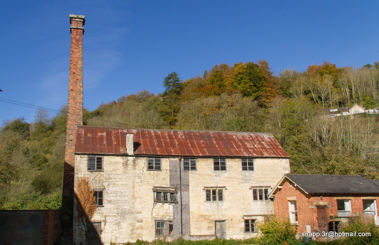
After venturing down of the hill we come to Stroud and plenty of remnants of the Industrial Revolution. It was a cloth town: woollen mills were powered by the small rivers which flow through the five valleys, and supplied from Cotswold.
Golden Valley railway line from Swindon to Cheltenham Spa.

Thames and Severn Canal linking Stroudwater Navigation is under restoration it received a 82 million pound lottery fund but as you can see from following pictures needs a bit of work still.

There are some really pretty sections,
with extremely clear water. I saw Trout and kingfisher.


Jubilee bridge

There are working hard... well the 4 guys i saw weren't but i'm sure the are, it'll be great when it's finished.

This is the Capels Viaduct, this part has been restored and looks great.

Underneath

Some great reflections.

This is after we leave the waterside behind, we then climb up to where we've parked. Another walk over and a beautiful day was had.

That's all for this week, join me again next week :)


